
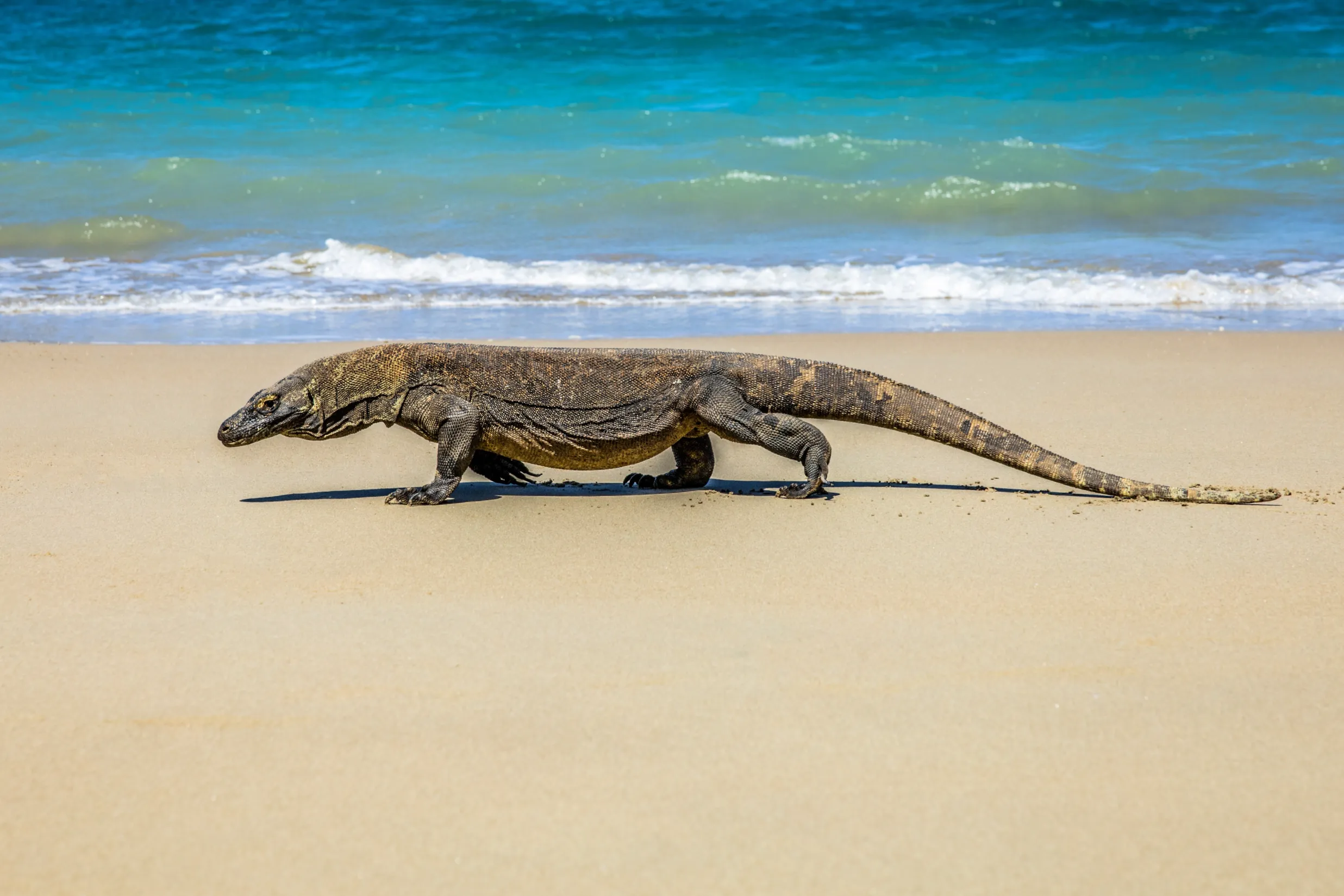
 Lamborajo Editorial Desk
 On this page
Komodo National Park lies between Flores and Sumbawa in East Nusa Tenggara, Indonesia, covering roughly 1,817 square kilometres of islands and sea. It has been a UNESCO World Heritage Site since 1991. Its three main islands are Komodo, Rinca and Padar, and the only practical gateway is Labuan Bajo on the western tip of Flores.
Most people arrive knowing two facts: there are dragons, and there is a photogenic ridge. The park is considerably more interesting than that, and knowing its geography changes how you read an itinerary — particularly why boats move at night, why the currents matter, and why the same stretch of water is both a nursery for manta rays and a place captains treat with respect.
What is Komodo National Park, and where exactly is it?
| Attribute | Figure |
|---|---|
| Location | Between Flores and Sumbawa, East Nusa Tenggara, Indonesia |
| Total area | ~1,817 km² of land and sea |
| UNESCO World Heritage inscription | 1991 |
| Main islands | Komodo, Rinca, Padar — plus dozens of smaller islands and islets |
| Reef fish species | More than 1,000 |
| Coral species | More than 250 |
| Marine setting | Within the Coral Triangle; strong tidal exchange between the Flores Sea and the Indian Ocean |
| Gateway town | Labuan Bajo, western Flores — airport code LBJ |
| Entrance fee (foreign visitor) | IDR 250,000 per person per visit, PP No. 36/2024 |
Species figures vary between sources — you will see 1,000 to 1,100 reef fish and 250 to 260 corals cited — which is why the honest form is “more than 1,000” and “more than 250” rather than a false precision.
Why the geography matters to your trip
The park sits in a strait. Water moves between the Flores Sea to the north and the Indian Ocean to the south through a set of narrow channels, and it moves hard. That single fact explains almost everything about the place.
It explains the marine richness: strong tidal exchange pumps nutrients through the reefs, feeding a biomass of fish that divers travel a long way to see, and supporting manta rays at cleaning and feeding stations such as Karang Makassar and Manta Alley. It explains the temperature difference between north and south — the south sits in cold upwelling from the Indian Ocean, roughly 21 to 25 degrees at the peak of the June to September upwelling, against 26 to 29 in the north. And it explains why itineraries are built around tide windows rather than clock times, and why your captain will move a stop by ninety minutes without apology.
It also explains the terrain. These are dry islands — savannah, bare ridges, thorn scrub — not tropical rainforest. Padar’s famous three-bay panorama is a view of a landscape with almost no trees in it. Visitors who expect Bali greenery are surprised; visitors who expect somewhere closer to East Africa with a coral reef attached are closer to the mark.
The islands you will actually visit
| Place | What it is | Why you stop |
|---|---|---|
| Padar | Ridge island between Komodo and Rinca | Sunrise hike to the three-bay viewpoint |
| Komodo Island | Largest of the three main islands | Ranger-guided dragon trek; Pink Beach on its east coast |
| Rinca | Open savannah island nearer Labuan Bajo | Dragon trek with high sighting reliability |
| Pink Beach | Coral-fragment beach on Komodo’s east coast | Swim and shallow-reef snorkel |
| Karang Makassar (Manta Point) | Broad shallow channel, 8–18 m | Drift snorkel or dive with manta rays, all levels |
| Taka Makassar | Crescent sandbar | Sandbar landing and adjacent snorkelling |
| Kalong | Mangrove island near Rinca | Evening anchorage for the fruit-bat exodus at dusk |
| Kelor | Small island near Labuan Bajo, ~1 hour out | First hike and swim of the trip |
| Siaba / Turtle City | Sheltered bay | Calm night anchorage; turtles and easy snorkelling |
| Kanawa, Sebayur, Manjarite | Reef stops on the Labuan Bajo side | Snorkelling; often the final morning |
Approximate sailing times between these points are set out in our Komodo sailing time table — useful because the park is bigger than a map suggests, and the distances are what force the overnight structure of every serious itinerary.
Diving: why it has the reputation it has
Komodo is a current destination. The famous sites — Batu Bolong, Castle Rock, Crystal Rock, Shotgun, Golden Passage — are pinnacles and channels where that tidal exchange concentrates fish, and where the same force demands real skill. Castle Rock and Shotgun are advanced sites with negative entries and reef hooks, not places to log your fifth dive. Batu Bolong runs 5 to 35 metres with permanent current and dense biomass.
Equally, the park is generous to beginners. Karang Makassar is a gentle drift in 8 to 18 metres where manta rays appear year-round and open-water divers are entirely at home. Siaba Besar is a sheltered bay used for check dives, with turtles and easy macro. Tatawa Besar is a classic soft-coral drift for intermediate divers. The range is unusually wide for one park.
Nobody publishes an authoritative site count. Specialist operators work with somewhere around eighteen core sites, rising to thirty or forty if you count variants and seasonal southern options — so “dozens” is the accurate word.
Seasons in one paragraph
April to June and September to November give the calmest sea and best all-round visibility. July and August are dry and clear but windy in the open straits, and they are the peak price and crowd months. December to March is the west monsoon: rougher, wetter, some vessels off for maintenance, more cancellations — and simultaneously the peak of manta activity, because plankton-rich water is exactly what draws them. The month-by-month detail is in our sea and crowd table.
Where is Komodo National Park?
How big is Komodo National Park?
How do I get to Komodo National Park?
How many fish and coral species are in the park?
Can you stay overnight inside Komodo National Park?
Why is the water cold in the south of the park?
First trip to the park? Komodo Luxury has operated here since 2015 and will map an itinerary to your dates and interests — WhatsApp +62 811 3823 875 or sales@komodoluxury.com.
Park area, UNESCO inscription year and species counts are widely published figures that vary slightly between sources; ranges are stated rather than false precision. Dive site counts are not officially published. Entrance figures follow PP No. 36/2024. See also: the Lombok to Komodo sailing route.
Send your dates and group size — the reservations desk replies with live availability and the current rate.
Keep reading
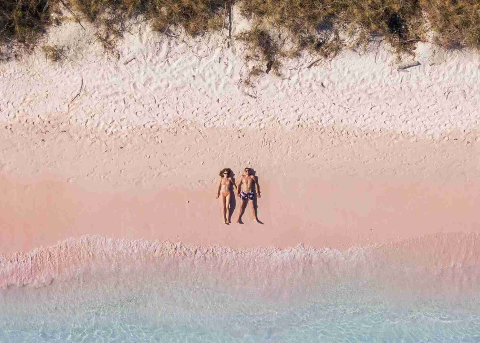 Moyo and Satonda: The Stopovers That Make the Lombok to Komodo Route
Destinations & Wildlife
Moyo and Satonda: The Stopovers That Make the Lombok to Komodo Route
Destinations & Wildlife
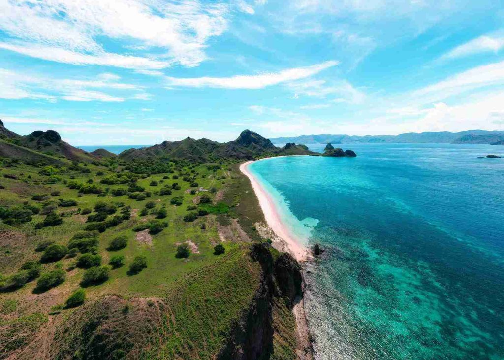 How Rough Is the Sape Strait Crossing on a Lombok to Komodo Trip?
Destinations & Wildlife
How Rough Is the Sape Strait Crossing on a Lombok to Komodo Trip?
Destinations & Wildlife
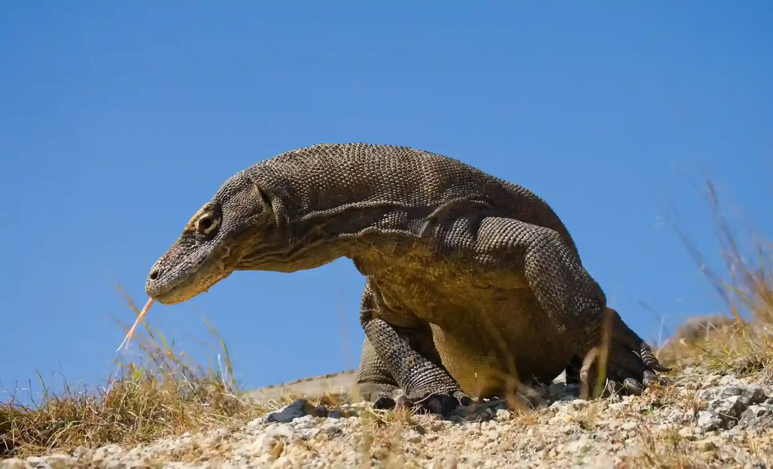 Komodo Island or Rinca: Where Do You Actually See the Dragons?
Destinations & Wildlife
Komodo Island or Rinca: Where Do You Actually See the Dragons?
Destinations & Wildlife
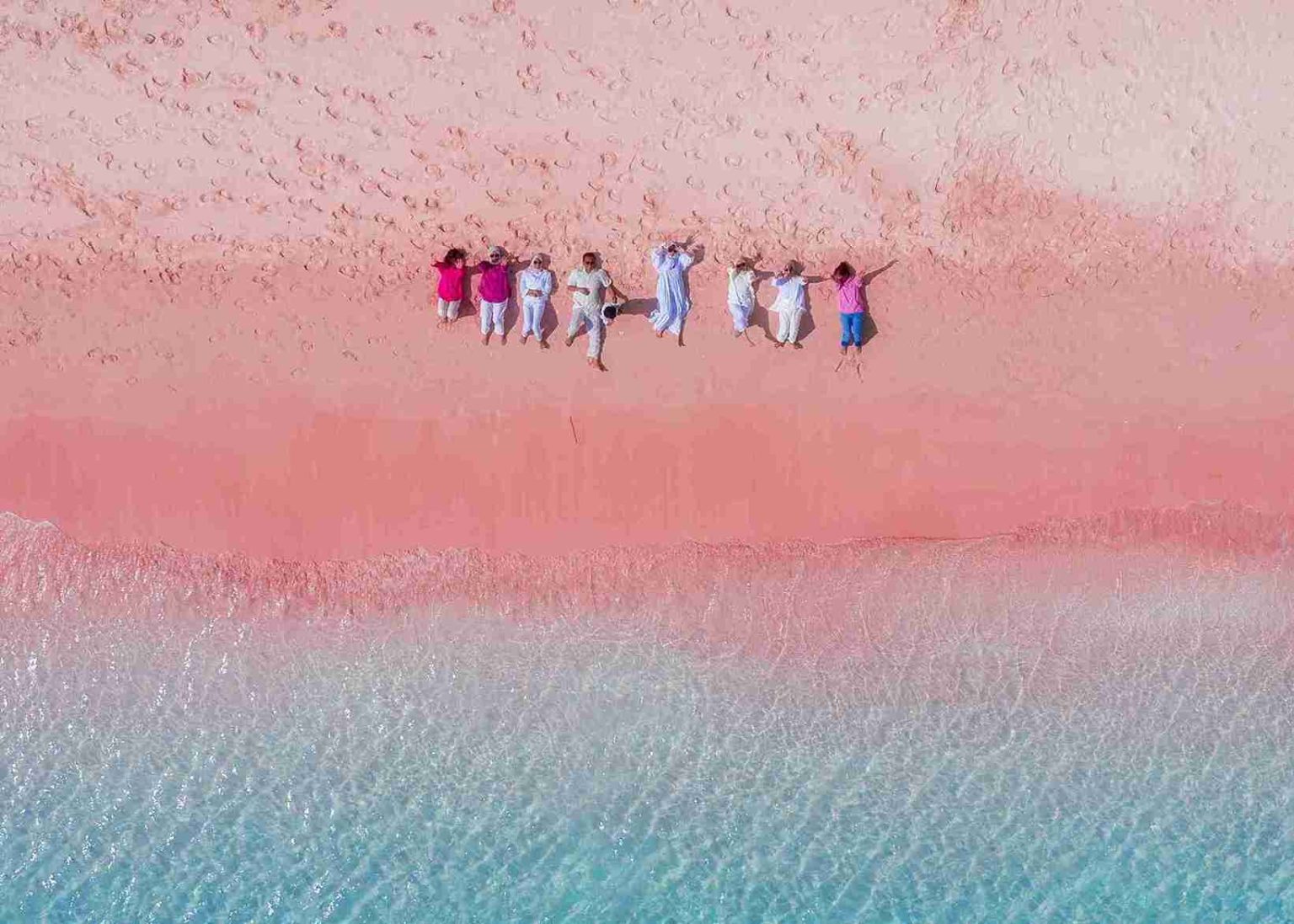 Is Pink Beach in Komodo Really Pink, and When Does It Look Best?
Destinations & Wildlife
Is Pink Beach in Komodo Really Pink, and When Does It Look Best?
Destinations & Wildlife